3D mapping for your property.
We create clear digital records of homes, commercial buildings and outdoor spaces across Perth—for renovations, design, documentation and planning.
- Homes & renovations
- Commercial buildings
- Trees & outdoor areas
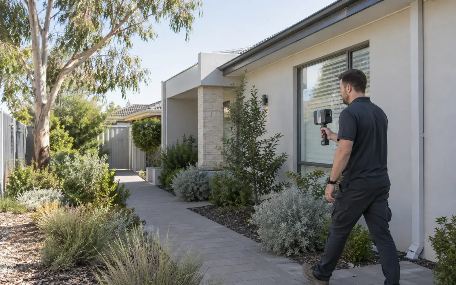
One visit. A clear record of the space.
Map the parts of a property that matter to your project, from rooms and building exteriors to gardens, trees and shared outdoor areas.
Make better decisions with a clearer view of the site.
Ground-based LiDAR records visible spaces and features in three dimensions, giving everyone a shared reference for the work ahead.
Homeowners & builders
Plan renovations, extensions and outdoor work from a current record of the property.
Architects & designers
Understand the existing building and site before design work begins.
Property teams
Document commercial spaces and visible site features for future work.
Arborists & landscapers
See trees and vegetation in context with buildings and outdoor areas.
Three straightforward steps.
We define the scope with you before the visit, so the capture and files suit the people using them.
- Step 01
Share your project
Send the location, the areas to be mapped and what you are planning.
- Step 02
We confirm the scope
We confirm the areas, access and digital files before arranging the visit.
- Step 03
We scan and deliver
We capture the site, process the data and supply the agreed project files.
The right information for the next stage.
Whether the mapping is for design, documentation or planning, we agree what should be captured and how it should be supplied before work begins.
- 01
A processed 3D record
The agreed areas are captured, processed and checked before delivery.
- 02
Files your project team can use
We confirm the requirements of your designer, builder, arborist or property team.
- 03
A clearly defined scope
The areas, level of detail and output format are agreed before the site visit.
Clear about what is—and is not—included.
Ground-based LiDAR records visible, accessible spaces and features. Some projects also need a licensed survey, inspection or specialist report, and we will flag that during scoping.
Read common questions- It does not establish legal property boundaries.
- It does not see underground services.
- It is not a structural, arborist or ecological assessment.
- Required accuracy, format and certification are agreed before capture.
Explore the technical details.
Read about LiDAR applications, deliverables, capture methods and technical considerations for more complex projects.
Let's map it properly from the start.
Send us the location, the areas involved and what you are planning. We'll reply within one business day with the next step.